Mount Bourgeau

Mount Bourgeau was another of those hikes which I had not been able to complete previously. I had tried in July but turned back for a variety of reasons, one of them being that the summit was completely encased in clouds that day.

The forecast for today was cold (high of 5C) but clear, so I figured this might be my last chance until next year.

"Harvey" is such an ordinary name ... I can never remember it
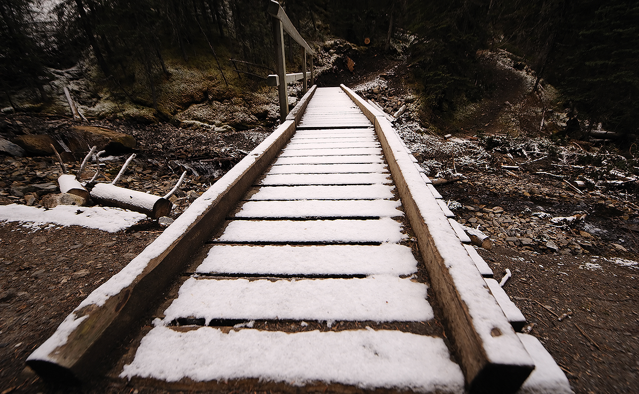
The hike to the summit of Mount Bourgeau is 12km (one way) with 1350m of elevation gain and a couple of scrambly bits, although those bits are quite small and manageable. Most of the trail up to Bourgeau Lake is in the forest, and the grade is very gentle (I ran down).

First hiker of the day gets to ruin the fresh snow
As I was first to start (another group arrived in the parking lot as I was about to leave), I broke trail in the upper portions beyond Lake Bourgeau, where the snow covered the trail. Fortunately, it's pretty obvious where to go.

Mount Brett (2938m)
Harvey Lake and Mount Assiniboine
As the Copeland book says, Bourgeau Lake is the least of the interesting destinations along this path. I didn't even take a photo of it.

A bit further on, from Harvey Pass, one can see Mount Assiniboine. And from the summit of Mount Bourgeau, you can see ... well, it almost feels as though you can see EVERYTHING.

Mount Bourgeau (the summit is on the rounded dome of scree)
How many mountains can you recognize?
In the above panorama, you can see all of the following:

1. Mount Assiniboine
2. Sunshine ski resort
3. Mount Temple
4. Monarch Ramparts and Healy Pass
5. Summits from the Bugaboos (although I couldn't point them out)

These are all places I had been to before, or plan to go to, so there is a lot of meaning behind the scenery.

Cosmic Ray Road, leading up the backside of Sulfur Mountain
My mother and I had tried to hike up Sulfur Mountain via Cosmic Ray Road one year, but turned back due to it being very cold. It's not the most exciting hike, but it's doable in the shoulder season.

Not what you'd usually expect at the summit of a mountain
The weather station at the summit of Mount Bourgeau is a bit extravagant. It's actually large enough to accomodate a person inside, and there's a lot of instruments as well. I was thankful for it as it gave me shelter from the unrelenting wind. Plus, the weathervanes (I call them "wind roosters") let me know when the wind changed direction and I needed to sit on a different side of the weather station.

Skaha

Ray and I had originally planned to go to Skaha in May, but at the time, the forecast was quite poor so I bailed and we decided to try again in the fall.

We had decided to give Thanksgiving a try, but as the date came up, the forecast was very poor again. At this point, though, I didn't care, and I wanted to get out of Calgary regardless. It was a good thing, as we got 1.5 good days of climbing and a day visiting wineries in the Okanagan region during our rain day.

When we got to the campsite late Friday night (around 12:30am), the wind was howling off of Lake Skaha and setting up camp was quite awkward and difficult. The next morning, I saw lots of fallen branches and debris.

Ray on Mysterious Semblance (Elusive Edge area)
Saturday's plan was to do Logan's Run, but as the routes in that area are a bit stiff for warming up, we stopped by the Elusive Edge area first. I did Climbing with Elvis (5.10a sport) and Golden Pie Crust Award (5.10a sport).

Nicolas on Logan's Run (Great White area)
We all did Logan's Run (5.10b), and as Ethan was coming down after cleaning the route, it started sprinkling so we decided to call it a day.

Ray's ever helpful advice to inexperienced climbers ("go up")
That night, the winds picked up again, and I'm pretty sure I saw one tent tip over.

Campfire overlooking Skaha Lake
The next day, the rains started in the morning and did not give the impression of letting up, so we decided to have a winery day. We visited 4 wineries and I brought back a bunch of fruit wines and dry reds.

Ray on Ready To Strike (Diamondback area)
Our last day was to be a half day, but the weather was beautiful so the hike in was definitely worthwhile. My goal was to do Ready To Strike (5.10a trad), and it was a fantastic experience. I was definitely scared in a couple of places, and I sat on gear (which I never do), but I plan on going back and doing it clean.

Nicolas watching Ray
With my nerves frazzled, I called it a day and Nicolas and I drove back to Calgary.

West Wind Pass

The plan was to do Read's Tower and Mount Sparrowhawk. However, as is often the case, I was up late the night before, and I don't remember turning off my alarm at 5am. Hence, a shorter day was in the cards.

We decided to go up to West Wind Pass, which is in the same general vicinity, but is a much shorter hike.

Paraglider coming off the summit of Windtower
Unfortunately, I wasn't really prepared to do West Wind Pass, and as a result we missed a turnoff and ended up going along the scramble to Rimwall Summit. However, we stayed low enough on the shoulder such that the hike back down to West Wind Pass was quite simple.

What does this sign even mean?
True to its name, West Wind Pass was very windy. However, the wind was going south-to-north, so I'm not sure where "west" comes into play.

Heading back down along the correct trail
On the way back down, we followed the proper hiking trail and it was really easy. I'm glad I did the scramble as it was a bit more interesting, but Akemi would probably disagree.